Then and Now Images - B12 Postcode
Some locations on this page are: Bradford Street, Camp Hill, Stoney Lane.
At the bottom of each page there are buttons to take you to a specific postcode, or just use the 'Previous' and 'Next' buttons to navigate this collection.
For Copyright information regarding this collection please Click/Tap Here ![]()

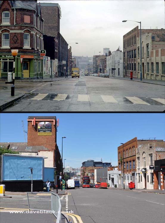
The Shepherds Rest - Public house on the corner of Moseley Road and Bradford Street, demolished mid 1980's, the buildings on the right of Bradford Street haven't changed much.
Upper Image: Author - Phyllis Nicklin, Copyright - MLA West Midlands and the University of Birmingham.
Upper Image Date: 25/09/1968.
Lower Image Date: 25/06/2018.

Camp Hill - Holy Trinity Church in the distance, photo taken close to the junction of Coventry Road and Camp Hill. The buildings that replaced the houses were demolished in March 2022.
Upper Image: Author - Phyllis Nicklin, Copyright - MLA West Midlands and the University of Birmingham.
Upper Image Date: 05/08/1960.
Lower Image Date: 25/06/2018.

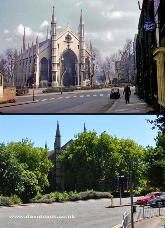
Holy Trinity Church - As viewed from Bradford Street.
Upper Image: Author - Phyllis Nicklin, Copyright - MLA West Midlands and the University of Birmingham.
Upper Image Date: 26/02/1954.
Lower Image Date: 26/05/2018.

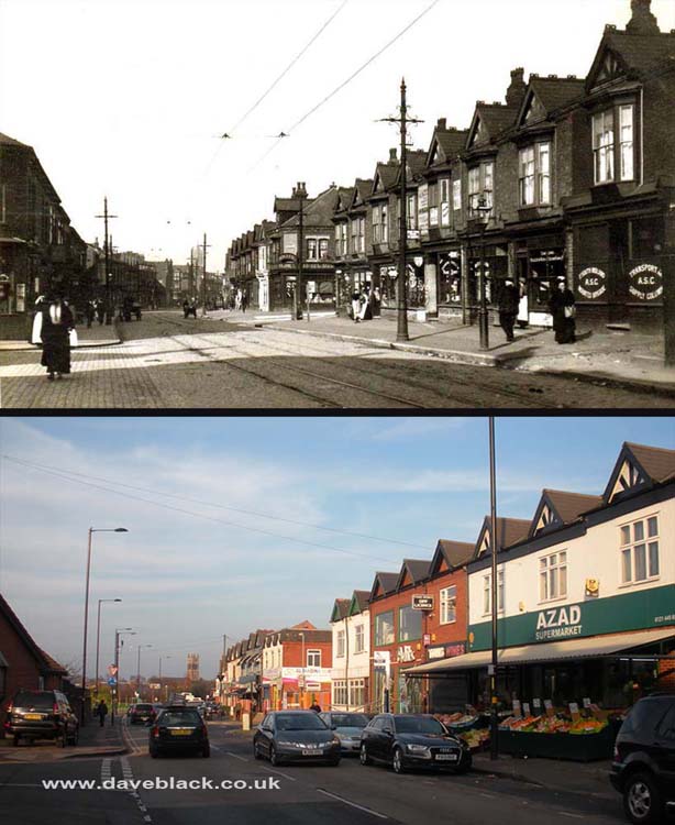
A section of Stoney Lane, Sparkhill - located between Wilton Road and Newton Road. Chesterton Road is on the left, and Saint Agatha's Church (Stratford Road, Sparkbrook) is visible in the distance.
Upper Image: Author, and Copyright status not known.
Upper Image Date: Not known.
Lower Image Date: 14/12/2018.